

You can measure any distance on the Stash map, such as the length of a boundary, a setback, or how far a property is from shops, a school or a train station. Measurements are in metres.
Before you start
The drawing tools are in the toolbar at the top right of the map on a computer. They aren’t shown in the Stash mobile app.
Measure a distance
- Go to the property. Search for the address, or click it on the map. An aerial basemap such as Satellite makes it easier to trace boundaries accurately.
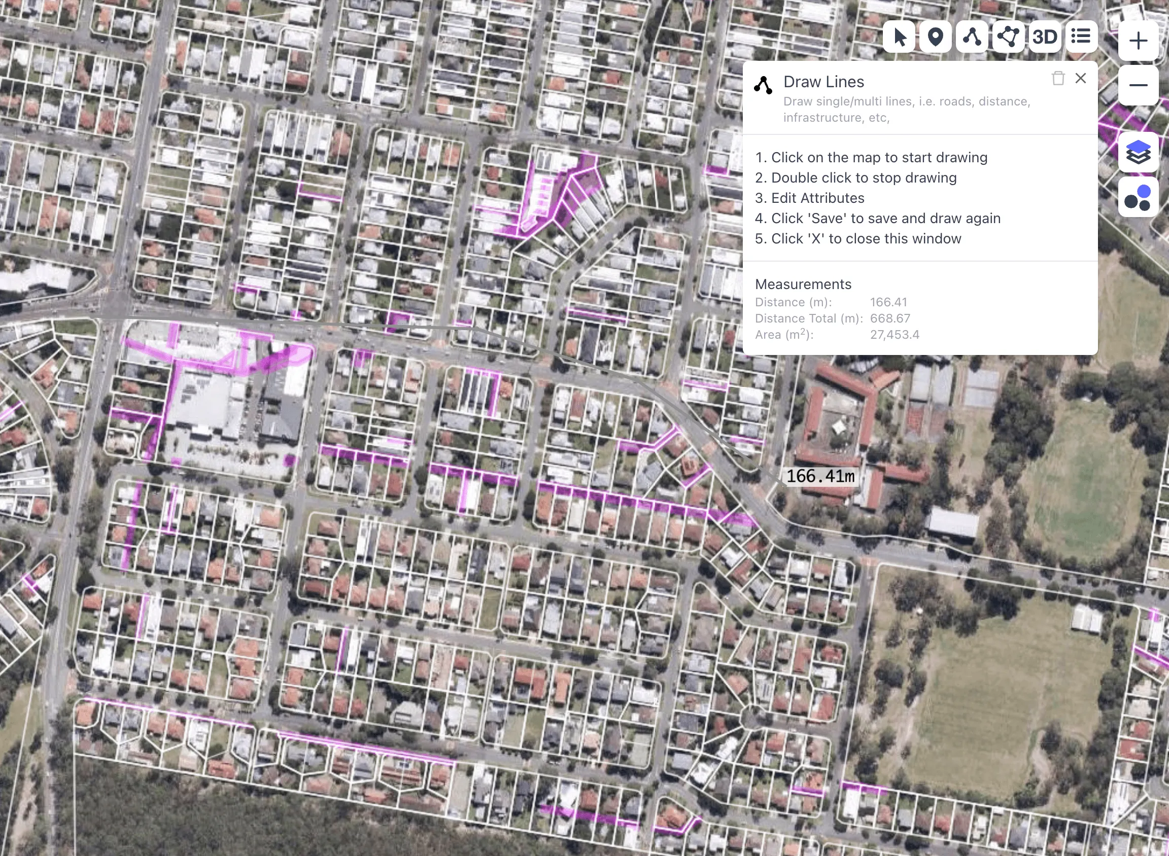
- Click Draw Lines. It’s in the toolbar at the top right of the map. The Draw Lines panel opens with instructions.
- Click on the map to start. Click each point along the route you want to measure. While you draw, the Measurements section shows Distance (m) for the current segment and Distance Total (m) for the whole line.
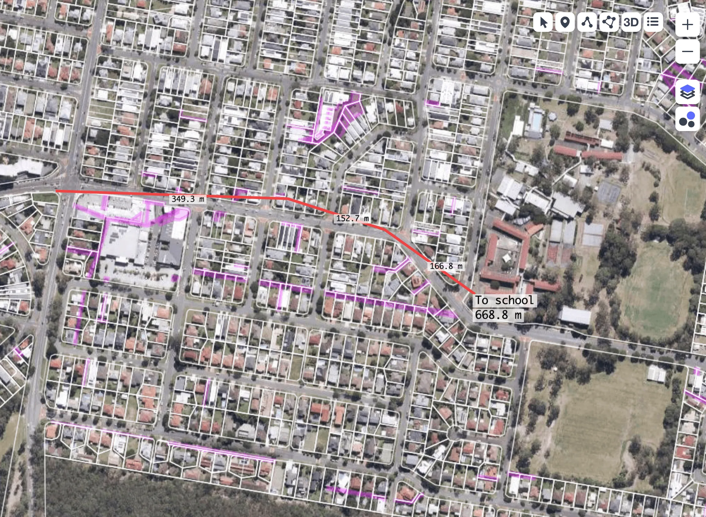
- Double-click to finish. The line is drawn and its total length appears at the end of the line.
- Add details. In the panel, add a Label (for example, “To station”), change the Color, Width [m] or Opacity, and tick or untick Measure Length to show or hide the length on the map.
- Click Save. Your line is saved to your account.
Edit or delete a line
- Click Edit in the toolbar at the top right of the map.
- Click the line to select it.
- Change it or delete it. Update the details and click Save, or click the bin icon at the top of the panel to delete it.
Save your settings as a preset
If you often draw the same kind of line, such as a setback or a services line, set it up once and save it. Click the More (…) button next to Preset and choose Save preset. Next time, pick it from the Preset list.
Saved lines stay on your account. Turn My Drawings on or off in the Layers panel to show or hide them. See Use the drawing tool.
Map measurements depend on the imagery and boundary data, so they’re approximate. For exact dimensions, check the registered plan or get a survey.
Related
- Measure area
- Proximity circles around a property for quick distance estimates without drawing.
- Check street frontage