

The drawing tool lets you sketch on the map: outline lots or stages, trace a road or easement, and drop labels on landmarks. Drawings are saved to your account, so they’re there next time you log in.
Find the drawing toolbar
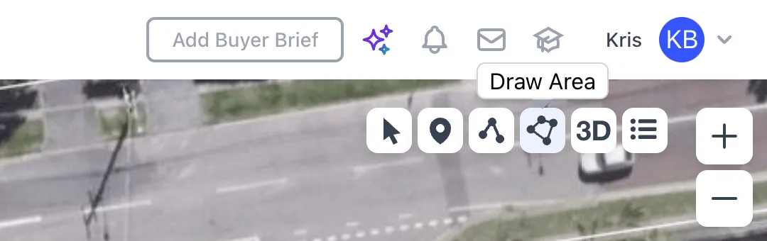
The toolbar sits at the top right of the map. Hover a button to see its name:
- Edit: select a shape you’ve drawn to change or delete it.
- Add Labels: mark points of interest and landmarks.
- Draw Lines: draw single or multiple lines, such as roads, distances or infrastructure.
- Draw Area: draw areas such as lots and stages, and keep their measurements.
- Pitch Toggle: switch between 2D and 3D. See Switch between 2D and 3D view.
- Zoning Legend: show the zoning colour key.
Draw an area
- Go to the spot you want to draw on. Search for a property or move the map there. Zoom in close for accuracy. An aerial basemap helps with tracing.
- Click Draw Area. A box opens with the steps and live measurements: Distance (m), Distance Total (m) and Area (m²).
- Click on the map to start drawing. Click each corner in turn.
- Double-click to stop drawing. The shape closes and the attributes box opens.
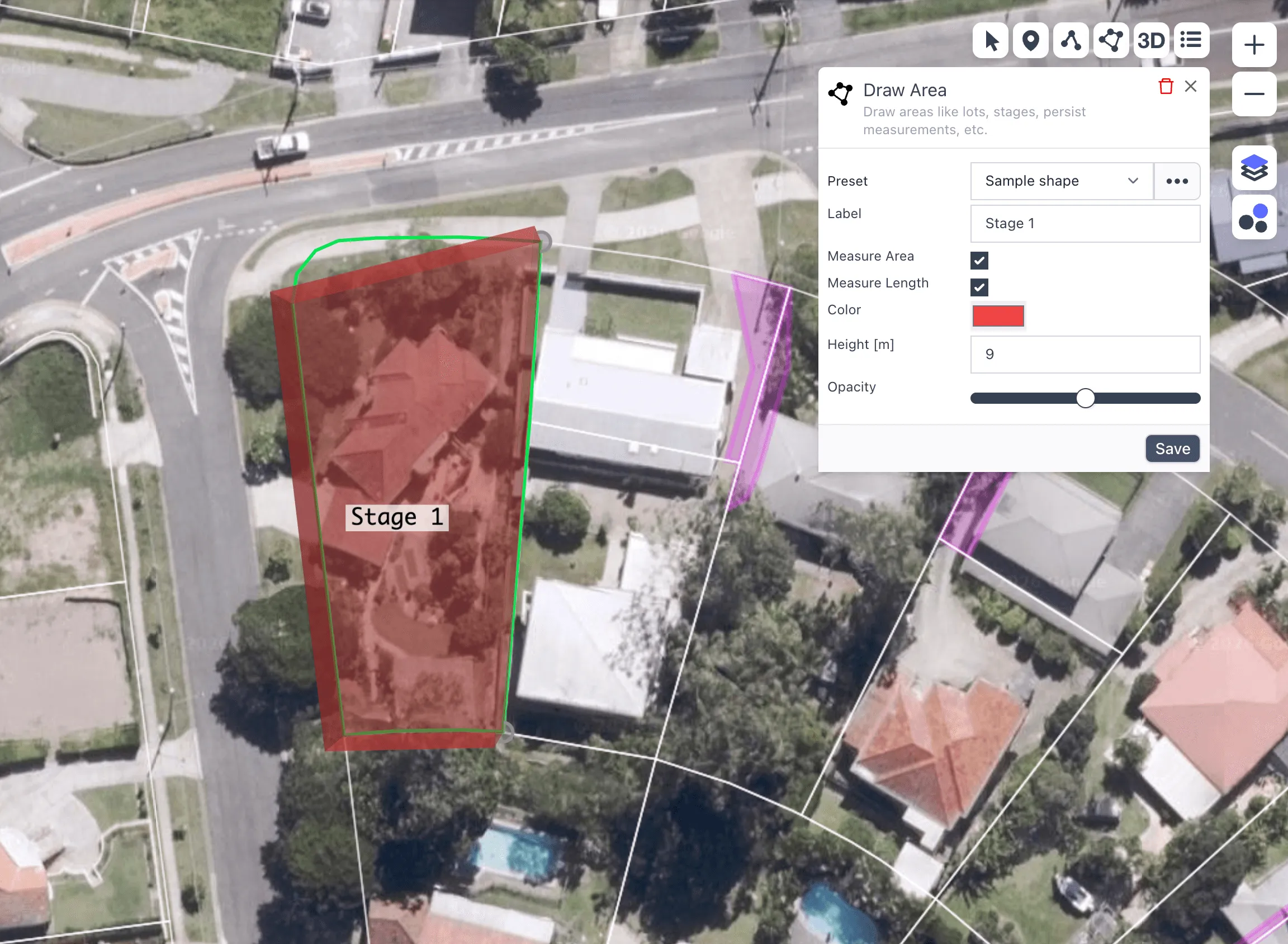
- Edit the attributes. Add a Label, choose a Color, set a Height [m] and adjust the Opacity. Tick Measure Area or Measure Length to show those measurements on the map.
- Click Save. The shape is saved and you can draw again straight away. Click X to close the box when you’re done.
Lines and labels work the same way. Use Draw Lines or Add Labels, click on the map, double-click to stop, then set the label, colour, Width [m] and opacity.
A Height [m] turns an area into a block when you switch to 3D, a quick way to picture building bulk on a site.
Save a preset
If you use the same style often, such as a red outline for stage 1, save it as a preset. In the attributes box, click the … (more) button next to Preset and choose Save preset. Give it a name and it appears in the Preset list next time. Choose Remove preset to delete one.
Edit or delete a drawing
- Click Edit in the toolbar.
- Click the shape you want to change.
- Change the attributes and click Save, or click the bin icon to delete it.
Show or hide your drawings
Your saved drawings show through the My Drawings overlay. Open Layers on the right of the map and switch My Drawings on or off. See Map layers and overlays.
Common questions
Can I just measure without drawing?
Yes. See Measure distance and Measure area.
I can’t see the drawing toolbar
The drawing toolbar shows in Stash in your web browser. It isn’t shown in the Stash mobile app.