

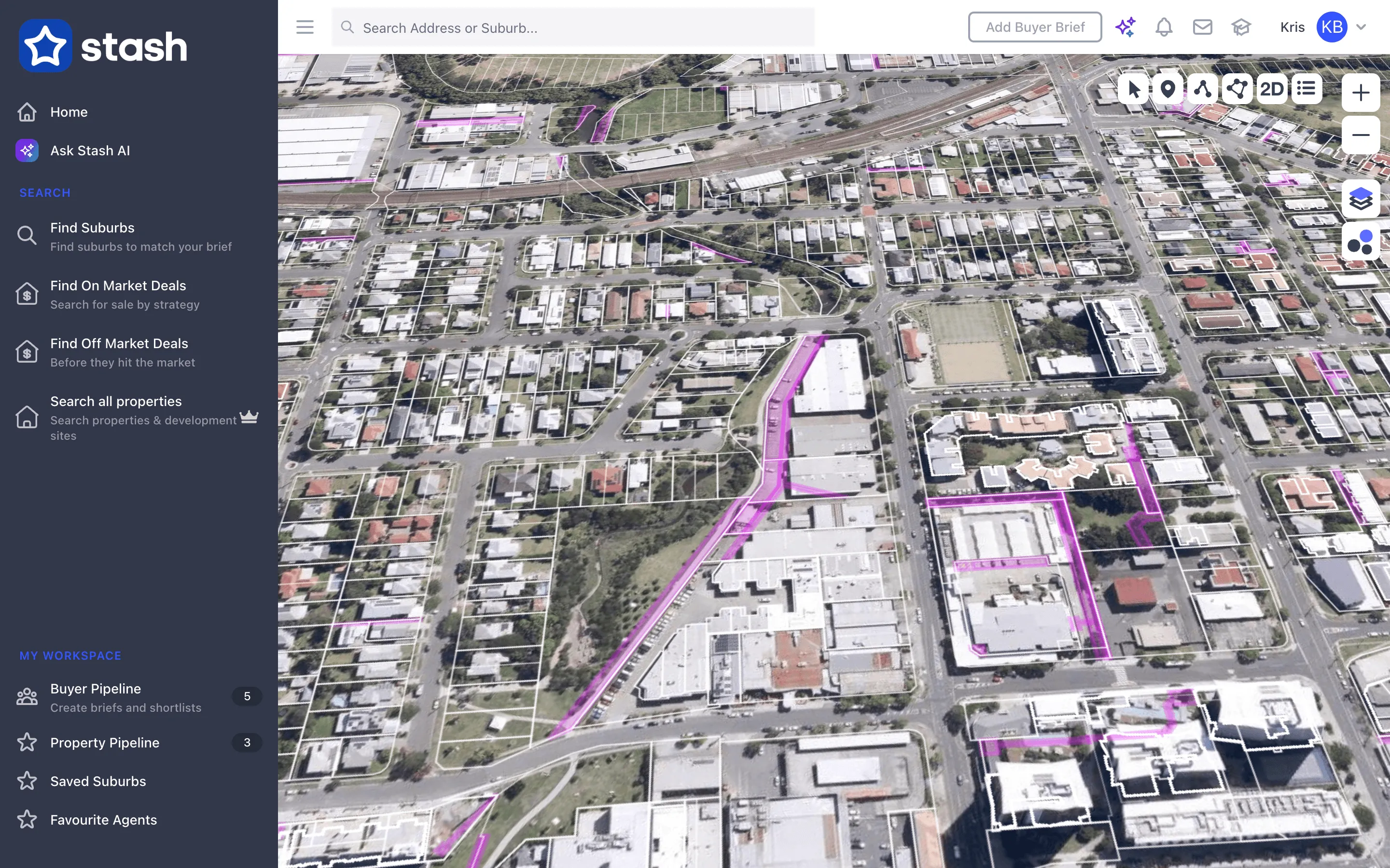
The 3D view tilts the map so you can see a property and its surroundings at an angle. It’s handy for picturing a site and, with the drawing tool, for checking the bulk of a planned building.
Switch to 3D
- Find the property. Search for an address or move the map to the area you want.
- Click the 3D button. It’s in the toolbar at the top right of the map (its tooltip says Pitch Toggle). The map tilts.
- Click 2D to go back. The same button now shows 2D. Click it to return to a flat, north-up view.
Rotate and tilt the map
You can also rotate and tilt the map yourself, in 2D or 3D:
- On a Mac, hold Command (⌘) and drag on the map.
- On Windows, hold Ctrl and drag on the map.
- You can also right-click and drag.
Clicking 2D resets the tilt and rotation.
See drawings in 3D
Areas you draw with a Height [m] show as blocks in 3D. Draw the footprint with Draw Area, set the height in metres, save it, then switch to 3D to see it from an angle. See Use the drawing tool.
Switch to an aerial basemap, such as Satellite or Metromap Aerial, before you tilt the map. It makes the 3D view much easier to read. See Map layers and overlays.
Common questions
I can’t see the 3D button
The map toolbar shows in Stash in your web browser. It isn’t shown in the Stash mobile app.
The map is stuck at an angle
Click the 2D button at the top right of the map. It sets the map back to flat and north-up.