
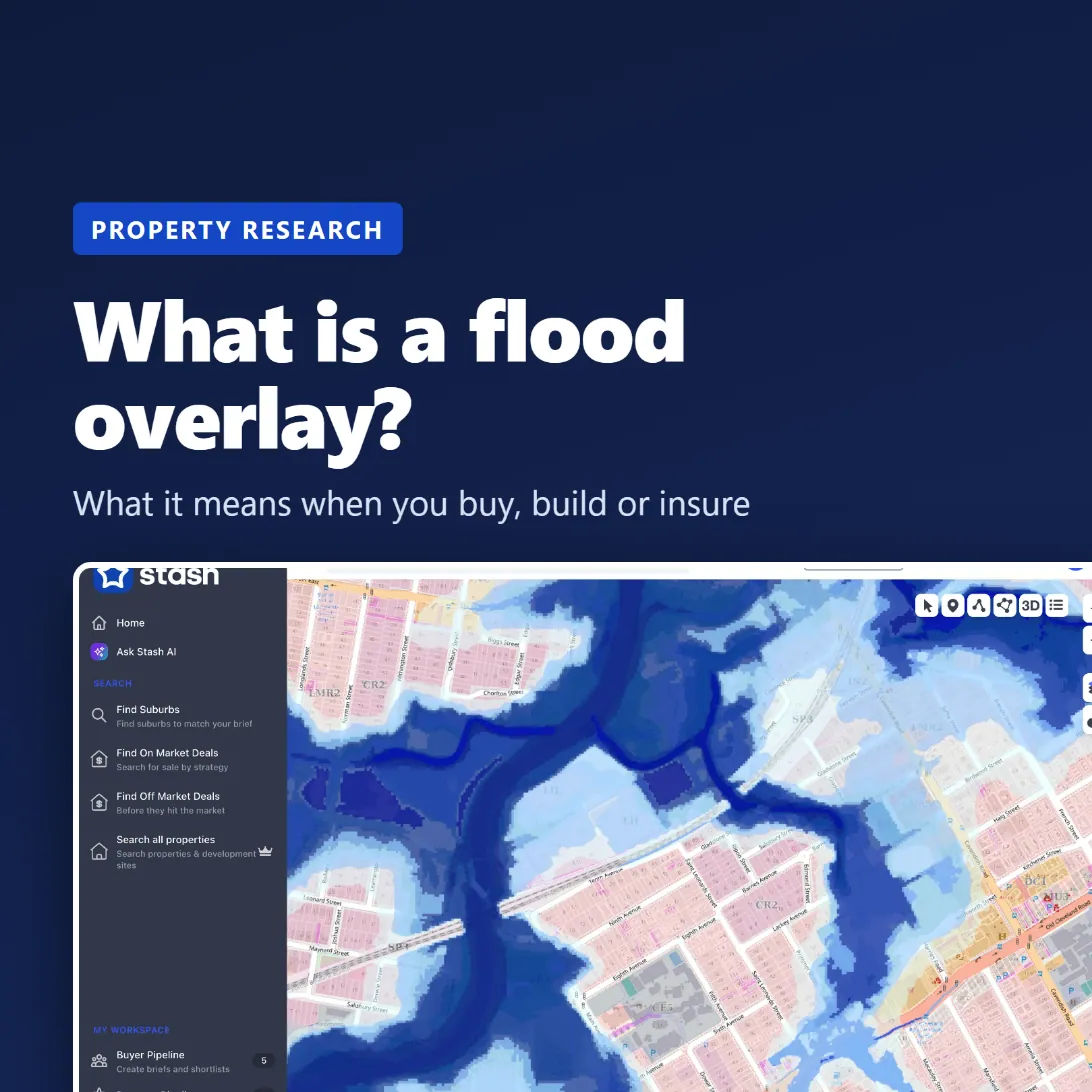
Short answer: a flood overlay is a layer in a council's planning scheme that marks land that could be affected by flooding. If a property sits in a flood overlay, extra planning rules apply when you build, extend or redevelop on it. It doesn't mean the property has flooded, or that it will. It means the council has assessed that flooding is possible and has rules to manage the risk.
What a flood overlay actually is
Australian planning schemes work in layers. The zone says what the land can be used for (for example low density residential). Overlays sit on top of the zone and add rules for specific issues such as heritage, bushfire, vegetation or flooding.
A flood overlay maps the land the council considers at risk from one or more types of flooding. Common types include:
- River flooding: a major river breaking its banks, such as the Brisbane River.
- Creek or waterway flooding: local creeks rising quickly after heavy rain.
- Overland flow: stormwater running across the ground on its way to drains and creeks. This can affect properties a long way from any river.
- Storm tide or coastal flooding: sea water pushed inland by storms and high tides.
Many councils split the overlay into flood planning areas or categories, from higher to lower likelihood, and apply stricter rules to the higher-risk areas.
Flood overlay vs flood map: they're not the same thing
Councils often publish more than one flood map, and they answer different questions. Brisbane City Council, for example, has a Flood Awareness Map and a separate City Plan flood overlay map. The two use different flood scenarios, so a property can look different on each.
- The flood awareness map is about understanding risk: how likely flooding is and how it has behaved in past floods.
- The planning overlay is about controlling development: where the extra planning rules apply.
Check both, and read the legend on each map before drawing conclusions.
What a flood overlay means when you buy
1. Building and renovating
Flood overlay rules usually apply to new development, not to the existing house as it stands. In Brisbane, council says its flood planning area rules apply to new development, including extensions, rebuilds and expansions, not to existing buildings. So you can generally keep living in the house as it is. If you plan to raise, extend, knock down and rebuild, or subdivide, expect conditions such as minimum habitable floor levels, flood-resilient materials and limits on filling the land. These can add cost and time, and can change what's worth doing on the site.
2. Insurance
Insurers use their own flood data, which may not match the council overlay. Before you commit, get a quote that includes flood cover for the actual address, and check how the policy defines flood.
3. Finance and valuation
Lenders and valuers look at flood risk too. A known flood risk can affect the valuation, the loan terms or the buyer pool when you sell. Factor it into your price, not just your due diligence checklist.
4. Future value
Two similar houses can sell for very different prices if one is flood affected. When you're comparing sales, check whether your comparables share the same flood exposure as the property you're buying.
How to check if a property is in a flood overlay
- Council planning map. Search the address in your council's online planning scheme map and turn on the flood overlay layer.
- Council flood report. Some councils provide a free property flood report. Brisbane's FloodWise Property Report, for example, gives flood levels and planning information for a specific property.
- State tools. In NSW, the Planning Portal Spatial Viewer shows planning layers for a site. Other states have similar portals.
- The contract and searches. Read the seller's disclosure and ask your conveyancer what searches they'll order.
- Ask about history. Ask the agent and the neighbours if the property or the street has flooded before.
If you're buying at auction, do all of this before auction day. There's no cooling-off period at auction.
Checking flood risk in Stash
For one property: open it in Stash and go to the Planning Insights tab. The Risks & Planning Overlays card shows whether flooding, bushfire, heritage or biodiversity is detected, with the source and when it was last updated.
For a whole area: click the Layers button on the right of the map and, under Overlays, switch on Flooding. Turn on Zoning as well to see which flood-affected land is zoned for what. The Street basemap gives the best contrast.
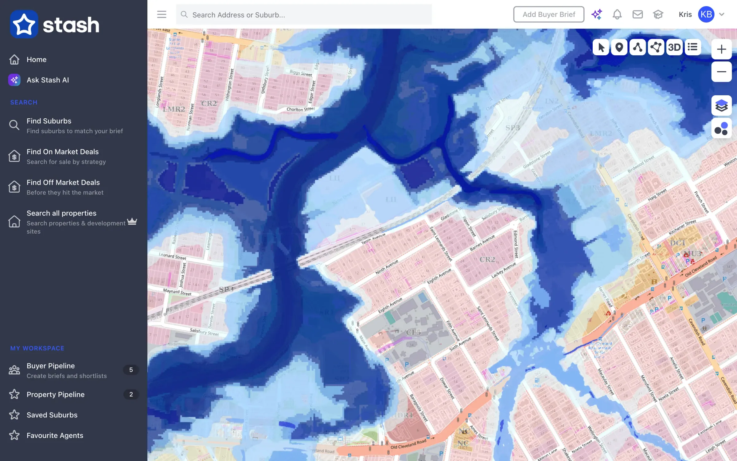
Flooding and zoning overlays together over Coorparoo, QLD.
Buyers agents can also add No flood overlay as a non-negotiable in a buyer brief, so properties that don't fit are flagged early. See Map layers and overlays.
Questions to ask before you buy a flood-affected property
- Which type of flooding does the overlay cover: river, creek, overland flow or storm tide?
- What is the defined flood level for the site, and how high is the floor of the house above it?
- Has the property, or the street, flooded before?
- Can I get flood insurance, and at what price?
- Do my plans (renovating, raising, extending or subdividing) trigger the overlay rules, and what will they cost?
- Have the comparable sales I'm relying on got the same flood exposure?
This article is general information only, not planning, legal or insurance advice. Flood mapping and planning rules change, so always check the current council information for the property you're looking at.